Of Legacy & Free SAS
26 Feb 2025
The image above was highlight of an email I received mid-February this year,a few days after I had demonstrated my spatial data visualisation abilities to a recruiter. One of my favourite posts which relied on CartoDB came to mind. I got the motivation to preserve this portion of my portfolio of work.
Just Cut to The Chase.
Early Clouds
This made me reminiscence all the free, limited use cloud services that scratched a tinkeror’s itch.How at one time I used RedHat’s OpenShift to host GeoServer and ran a PostGIS server on Digital Ocean, just to test the PostgreSQL database connection abilities of QGIS.
Migrating Maps
The email from CartoDB gave the next steps to the email heading
Your CARTO legacy account will be retired on March 31st, 2025 A new CARTO platform had been launched nearly 4 years earlier (2021).
I determined I was indeed still using the legacy platform. I signed up to the new platform.
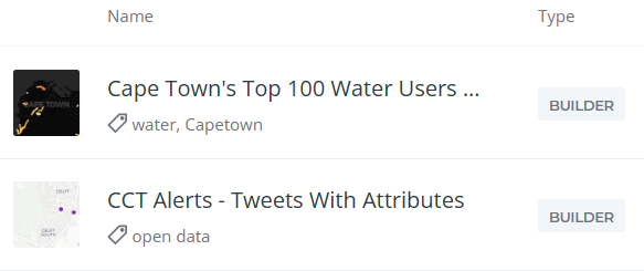
My list of Carto maps.
On there, I also had some Kepler.gl associated maps. These I didn’t care to preserve. Additionally there were datasets, linked to the maps, which needed to be preserved.
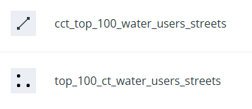
List of data sets.
Data Wherehouse
The ‘new’ CARTO platform had some catchy requirements for a tinkeror but luckily, … I could use CARTO’s own Carto Data Warehouse. However, data needed to be migrated and maps to be recreated.
I created an account on the New CARTO platform. Indeed it carries the shiny feel of current technologies.
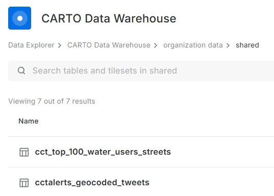
Downloaded datasets from the Legacy account, chose the CSV file format.
Uploaded the data (7) into the data warehouse connection - Carto Data Warehouse (carto_dw).
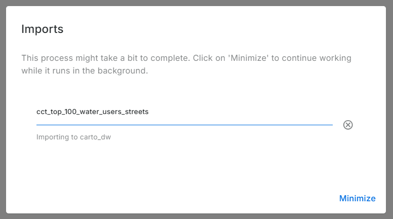
Imported data:
No Visualisation Here
Before spending more effort in coming up with a visualisation. I reviewed Carto’s plans. There is none free there. So I reluctantly stopped there. Whatever I was going to create here, was going to last for 14 days.
No Free Lunch!
Carto.com is a breath of fresh air. The tools in there are easy to use and quite intuitive. Unfortunately for a part-time tinkeror, 14 days is not a very long time. For my use-case, experimentation and blogging, this is end of the road. The link to my maps will become dead…but gladly the methodology remains documented.